Traffic planning games
The so-called “Cherusker Curve” attests to the transformation of the urban development guidelines. At one time the train tracks between General-Pape-Strasse and Kolonnenstrasse ran along this curve. After the Second World War the Schöneberg district office had a green corridor built on the embankment of the defunct railway line.
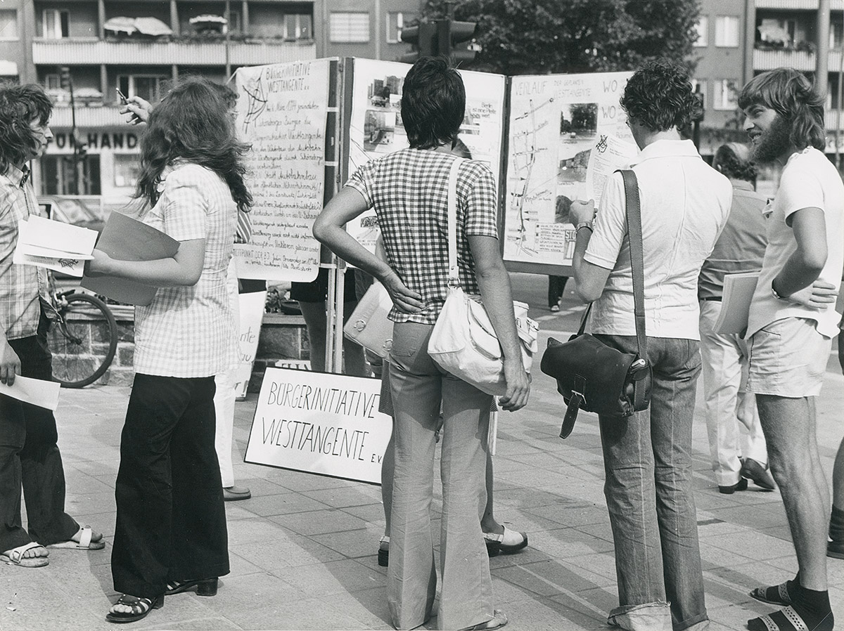
The land development plan for 1964 provided that the terrain should be used for an autobahn that would intersect the entire length of West Berlin. The first section of this “west bypass” from Steglitz to Sachsendamm was opened in 1968. It was planned to continue it across the former railway track of the “Cherusker Curve” and then have it run parallel to the Wannsee railway to the north. This was prevented by the “West bypass citizens’ initiative” that came together in 1974.
Green bypass instead of an autobahn
The “West bypass citizens’ initiative” fought bitterly against the extension of the Autobahn and succeeded with their petition for review of a legal norm in 1981. But the Senate persisted in the plans until the mid-1990s.
The idea developed by the citizens’ initiative for a green bypass gradually came to fruition in the course of the “Urban Development” subsidy programme.
The area around the newly designed green corridor Cherusker Triangle will soon be faced with more changes: a new north-south S-Bahn line is planned, the S 21. It is to lead from the Julius-Leber-Brücke station along the former tracks of the “Cherusker Curve” to the station at Südkreuz.


