
Screenshot Google Streetview June 2018 showing the situation in 2008 before Wilhelm-Kabus-Strasse was built.

Opening of Wilhelm-Kabus-Strasse, 14 September 2010, in the background is the Havelland elementary school.
Photo roedig.schop architekten
Aerial view from 1992, highlighting the former storage building, then at Kolonnenstrasse 30 E. The street ended there.
Geoportal Berlin

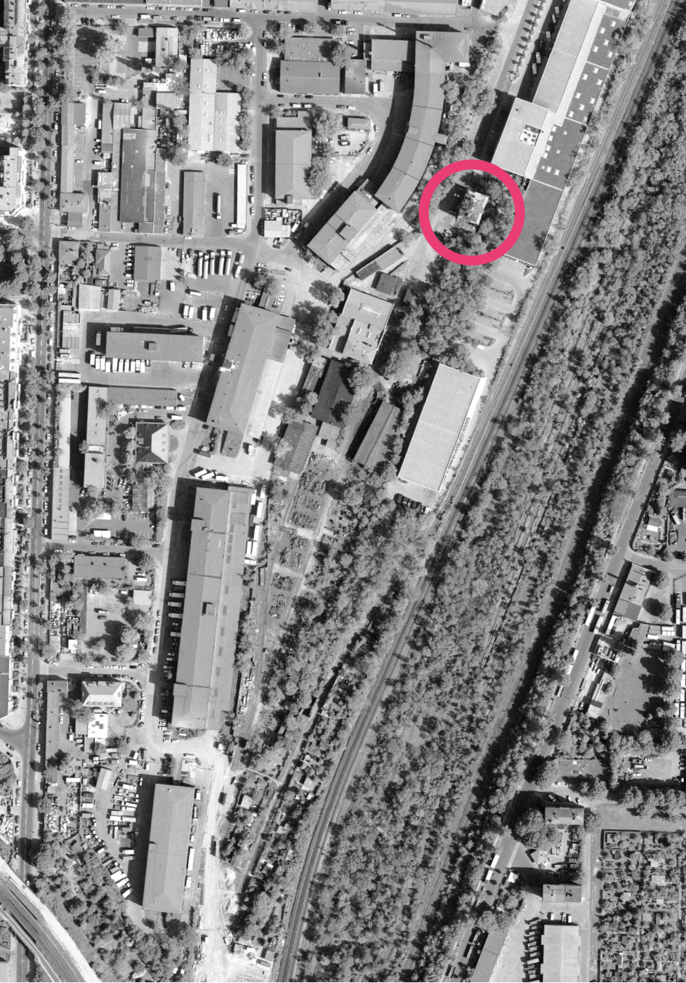
Aerial view from 2015 marking Wilhelm-Kabus-Strasse 39
Geoportal Berlin
A new street
Wilhelm-Kabus-Strasse is the newest street of the Schöneberger Insel. It was planned within the framework of the community project “Improvement of the regional economic structure” and made available for traffic in 2010 to relieve the burden on the heavily frequented Naumannstrasse. It is named after a former Schöneberg district mayor.
The street leads across the former military training grounds and through later industrial area Naumannstrasse. It gives access to the new commercial areas east of the railway tracks. In the past there was no connecting road to the railway crossroads at Südkreuz. From Kolonnenstrasse there was only a dead-end street that led to the former station building of the military railway. It ended at about that point. To the south it joined with the railway premises and the industrial area.